A journey beyond your wildest dreams
Join us to explore one of the last great wildernesses on Earth
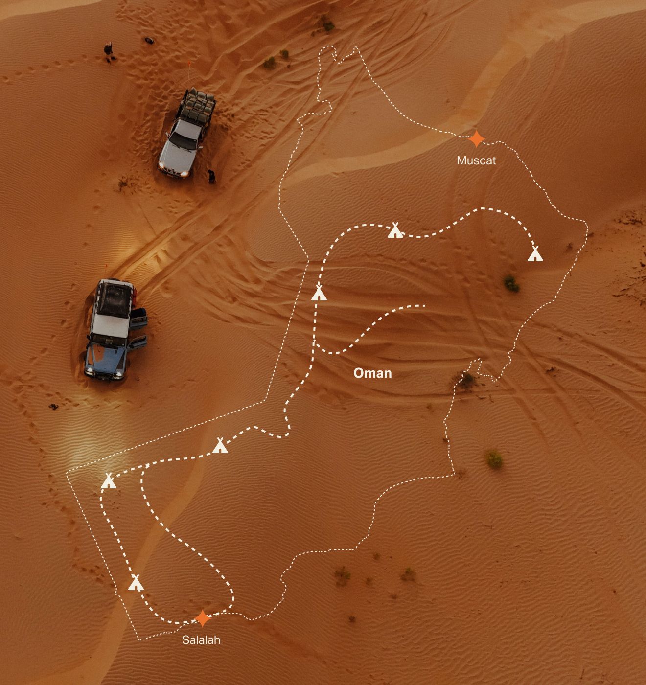
250,000 square miles of raw, natural splendour
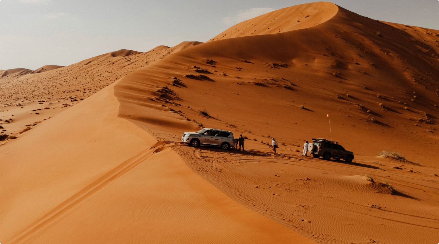
The Empty Quarter, or Rub Al Khali, is the largest uninterrupted sand desert on Earth, stretching across vast expanses of the Arabian Peninsula.
Known for its towering dunes and untouched beauty, this awe-inspiring wilderness offers a sense of freedom and serenity unlike anywhere else. It’s a place where the horizon never ends, and adventure awaits at every turn.
Shorter trips or full expeditions
Reach out to us to explore your options, from shorter adventures to fully tailored expeditions crafted exclusively for you and your group.
Expect the extraordinary
Step into a world where every moment feels like a story waiting to be told—an adventure straight out of 1001 Nights. Encounter desert hares and foxes, hear the melody of singing sand dunes, and witness a train of camels led by Bedouins. Here, the magic of the desert unfolds in tales of wonder, mystery, and beauty, creating unforgettable memories at every turn.
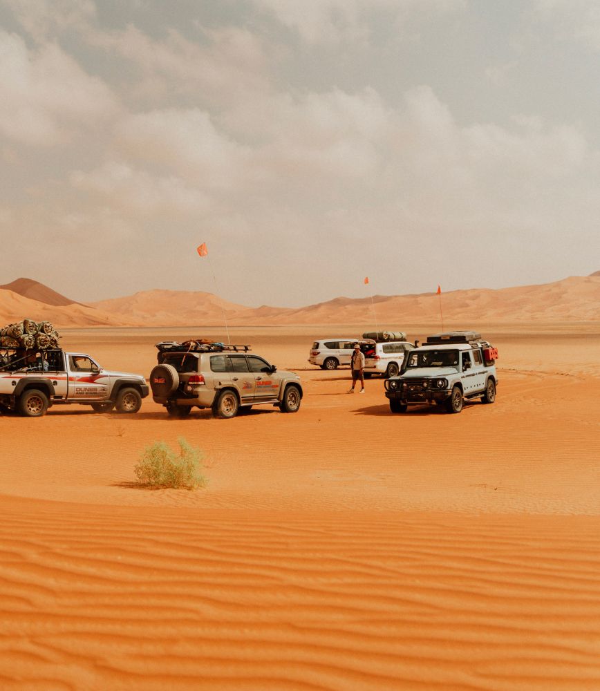
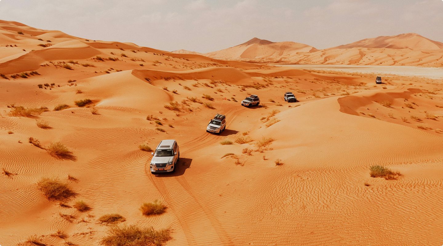
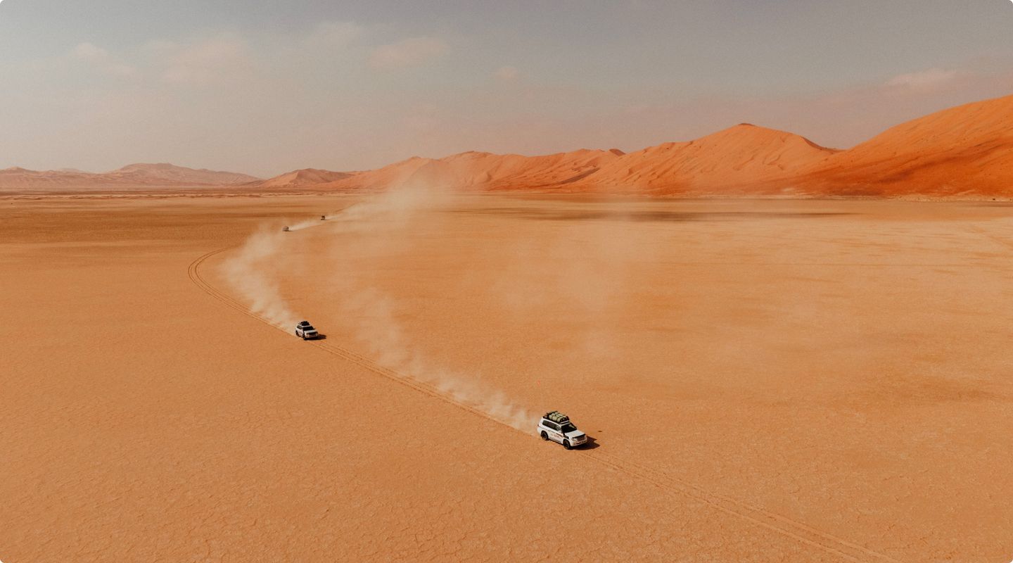
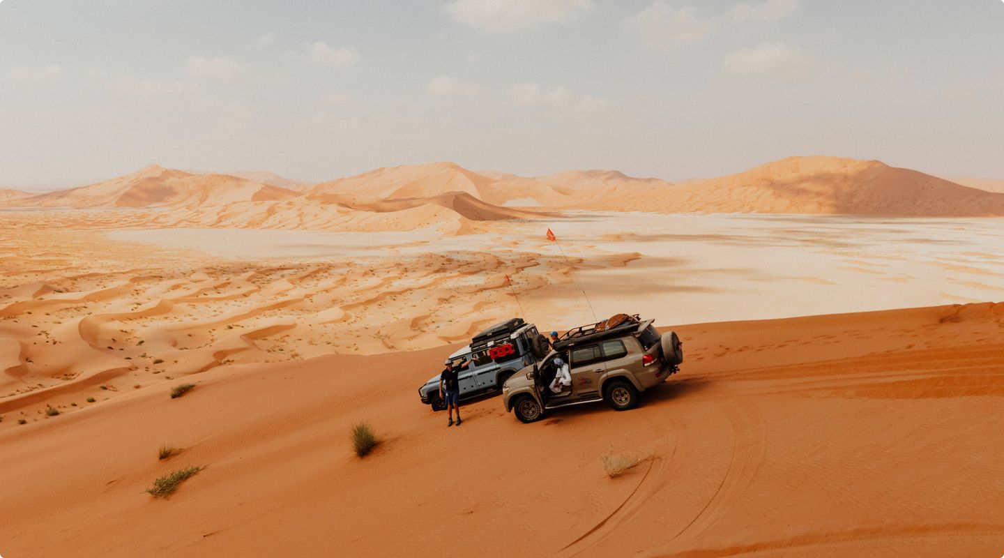
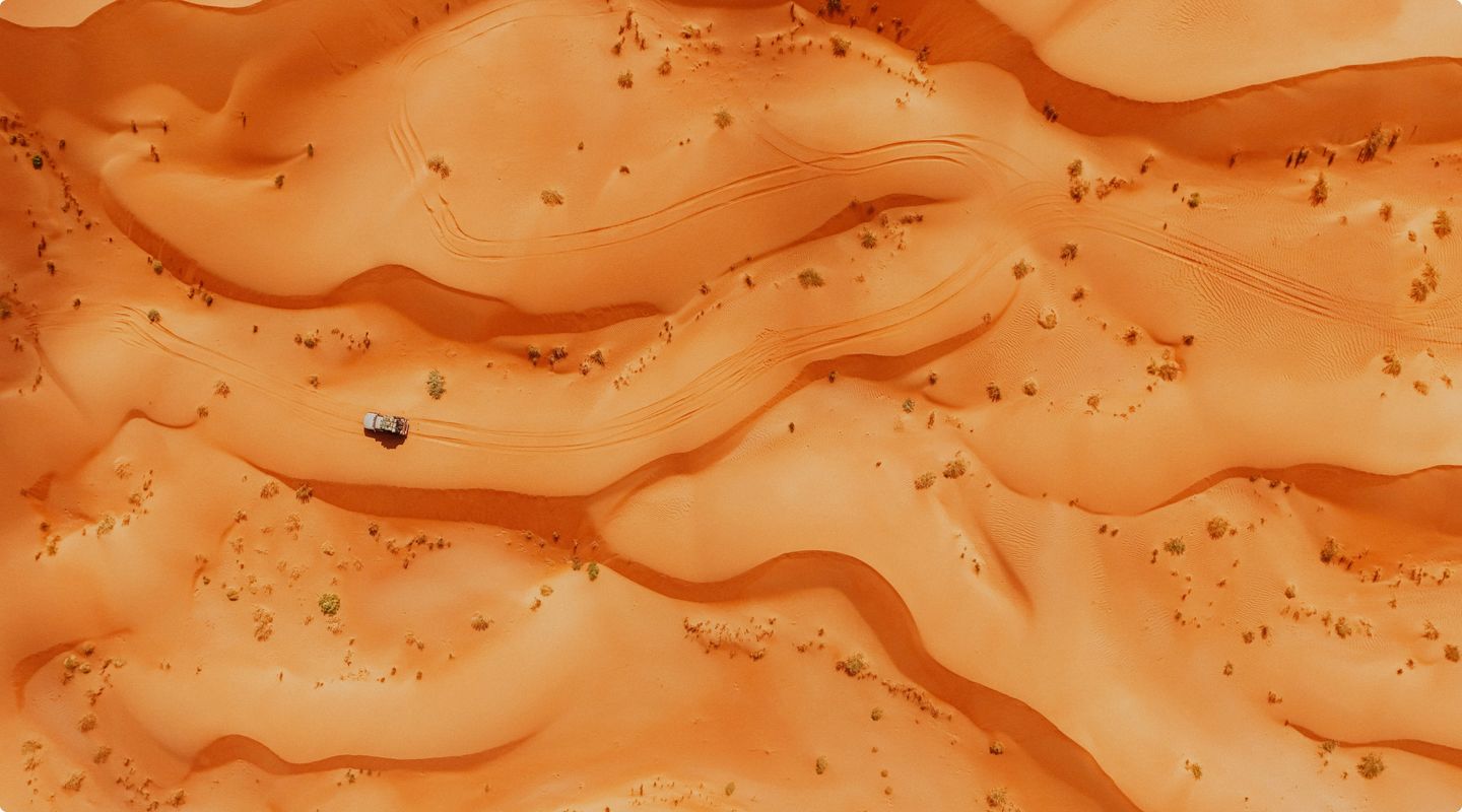
Drive in the vastness of the Empty Quarter
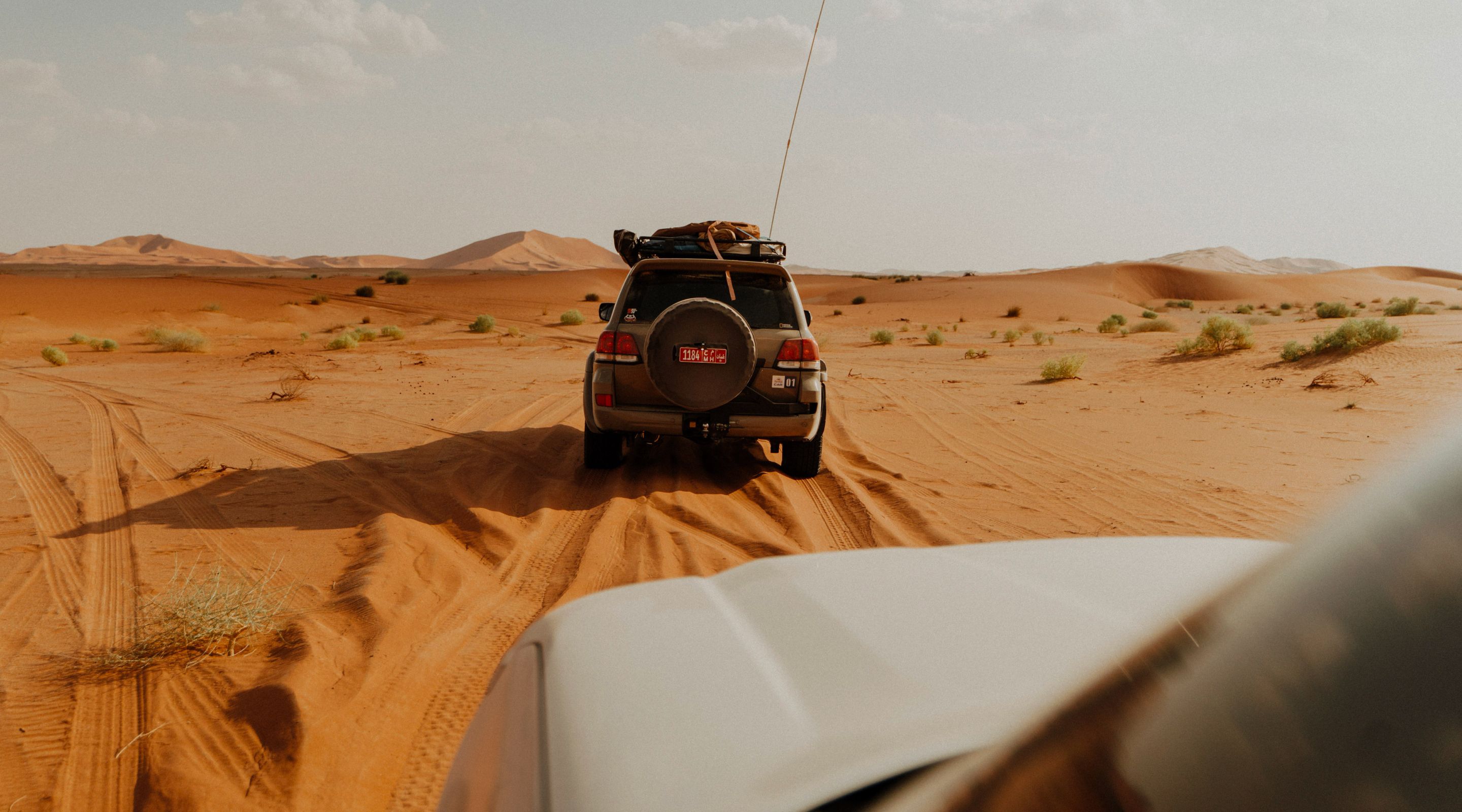
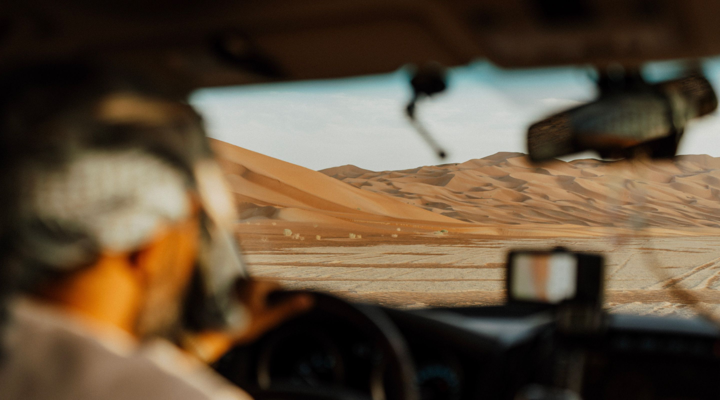
Navigate sweeping dunes and endless horizons as you explore an ancient, untamed expanse that feels like another world.
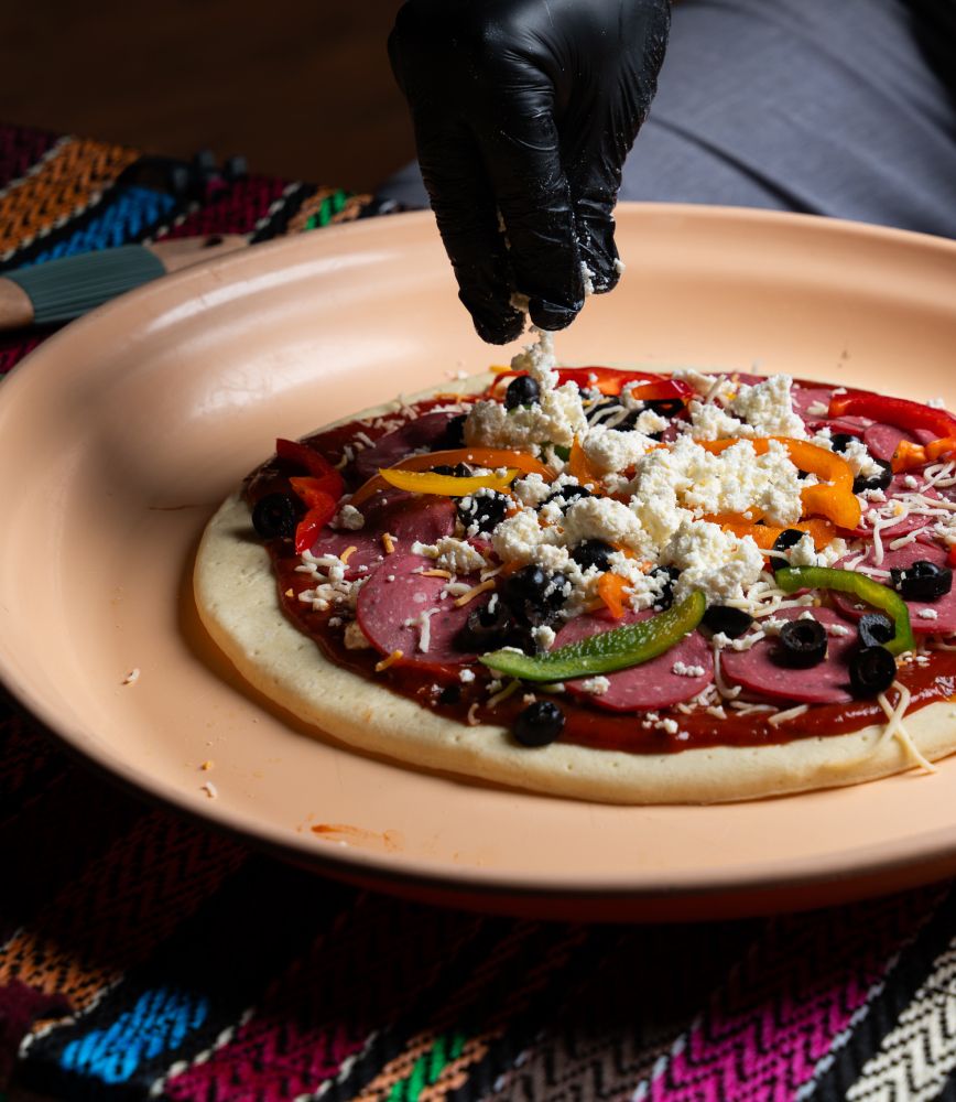
Enjoy chef-prepared meals by the fire
Savour gourmet dishes crafted under the stars, blending luxury with the rugged beauty of the desert.

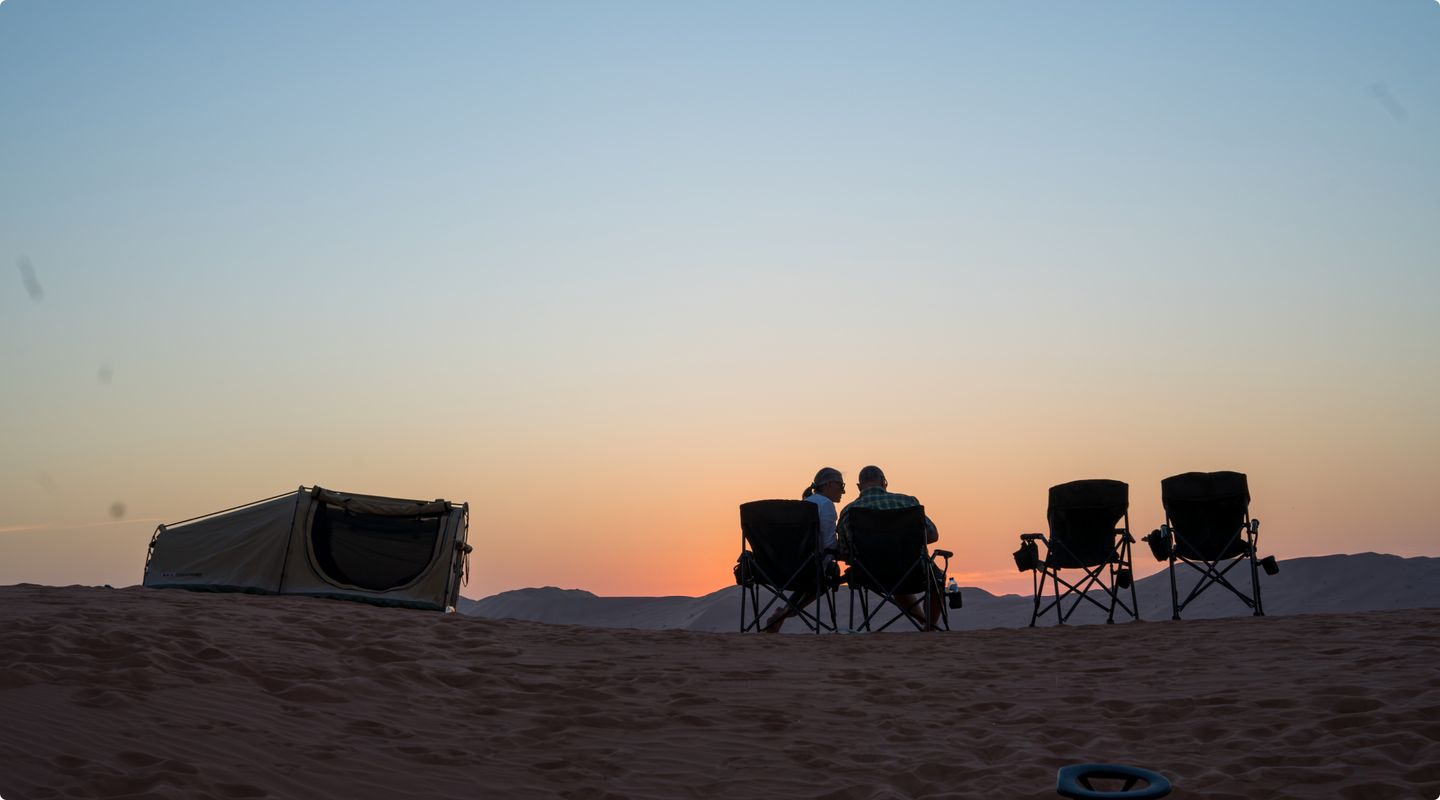
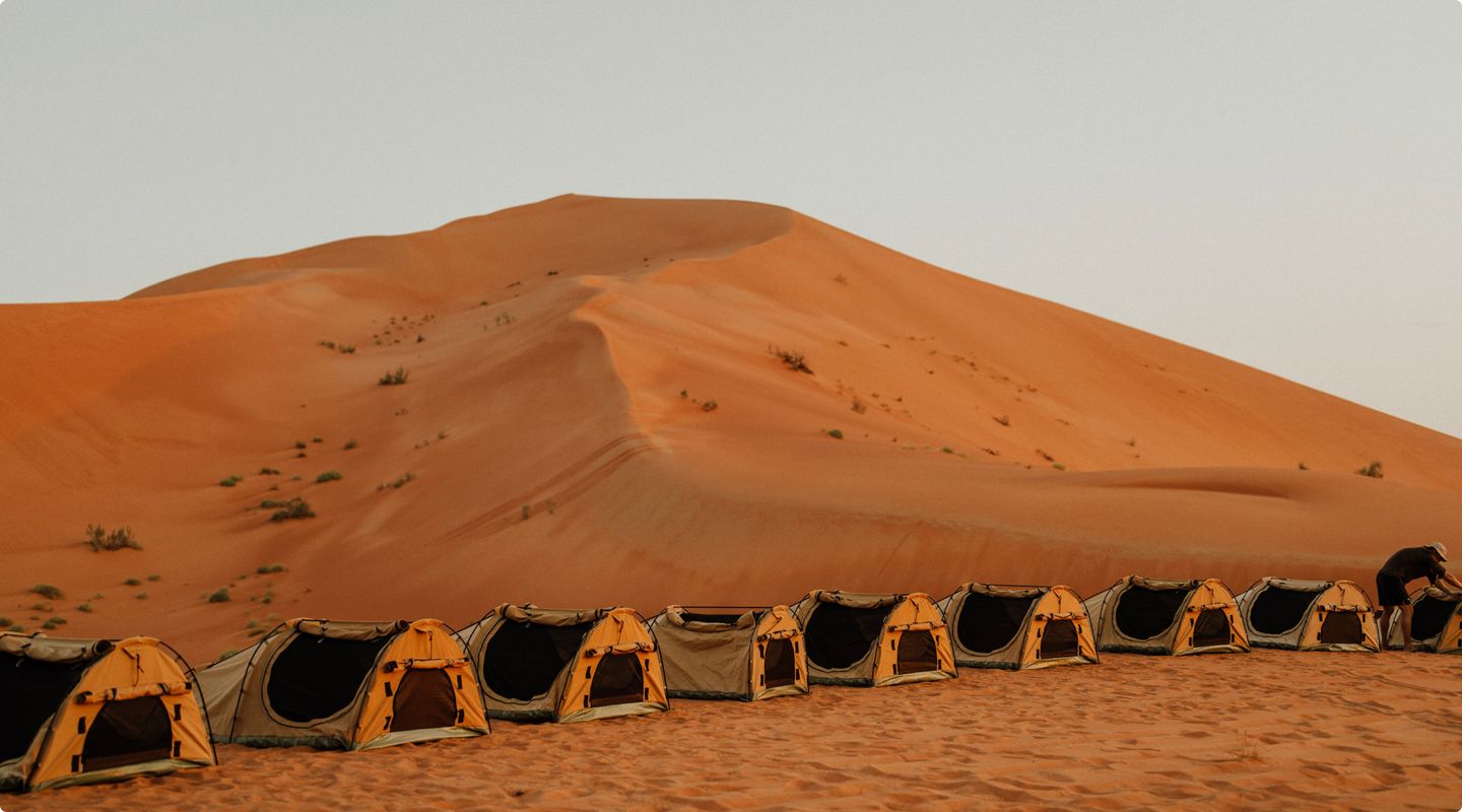
Camp under the pure black star-filled sky
Drift to sleep beneath a blanket of a million stars, surrounded by the profound silence of the Empty Quarter.
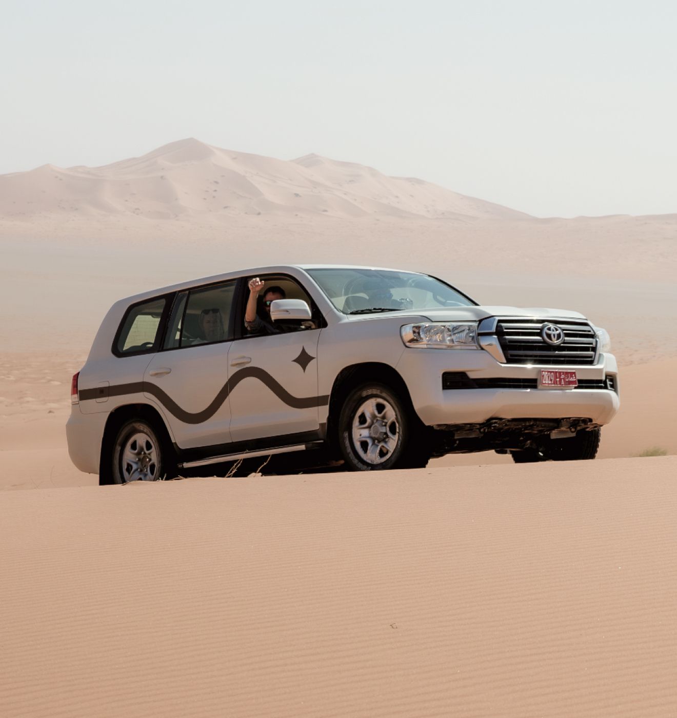
Unmatched power for the desert
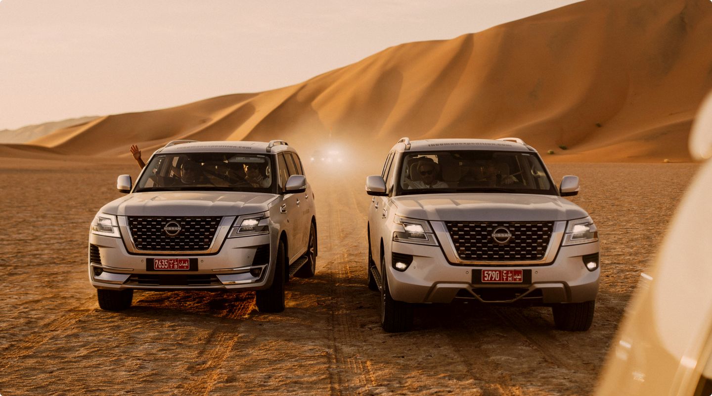
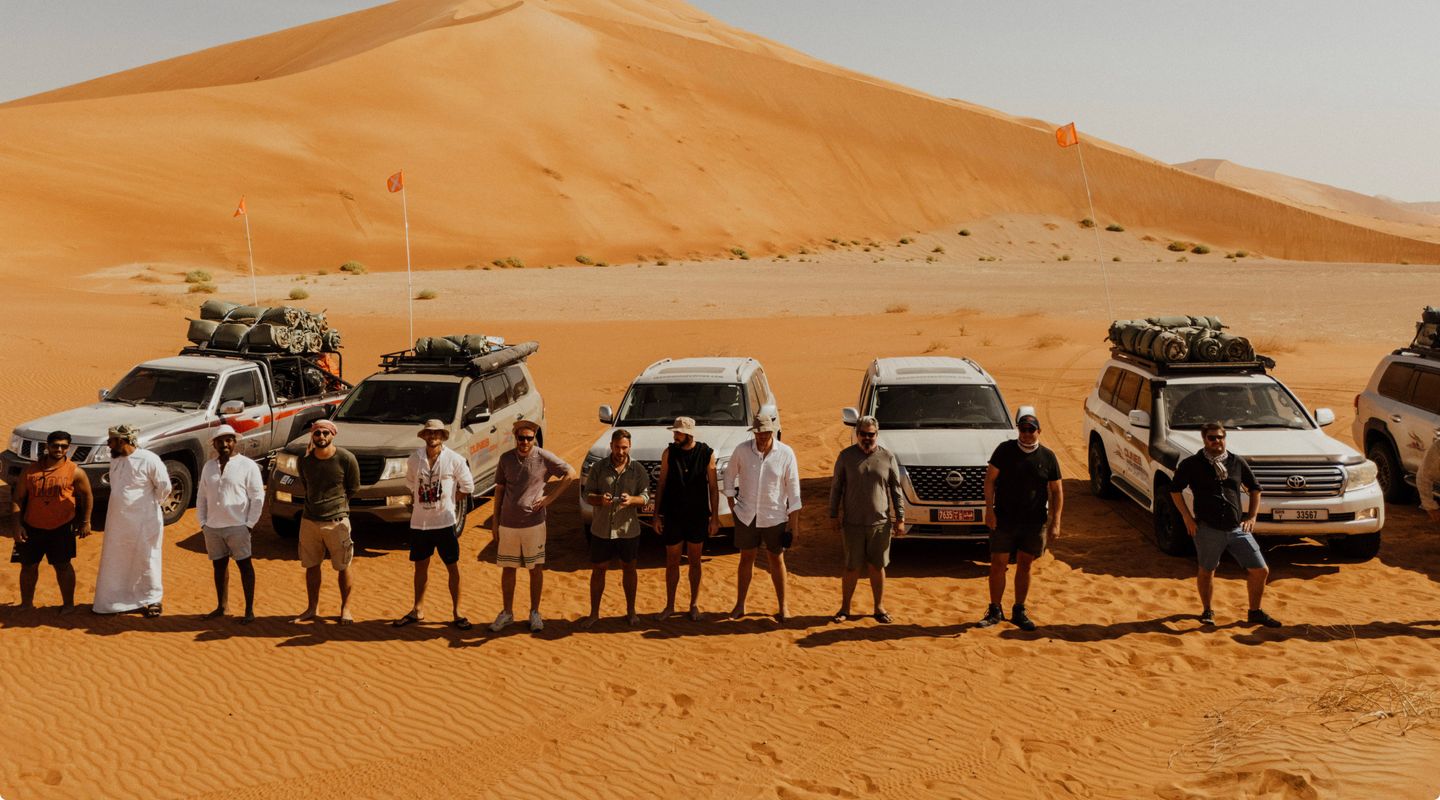
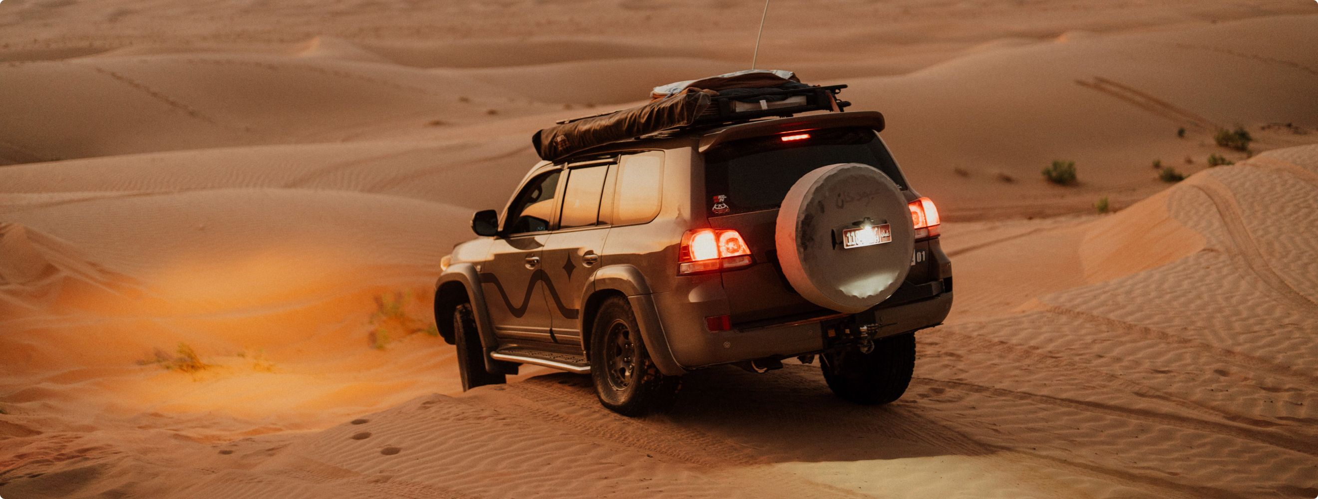
Our fleet of professionally modified Toyota Land Cruisers and rugged Nissan Patrols are built for the challenges of the Empty Quarter.
Reliable, powerful, and equipped with automatic transmission, these vehicles are designed to navigate the dunes effortlessly, ensuring an unforgettable adventure across the sands.
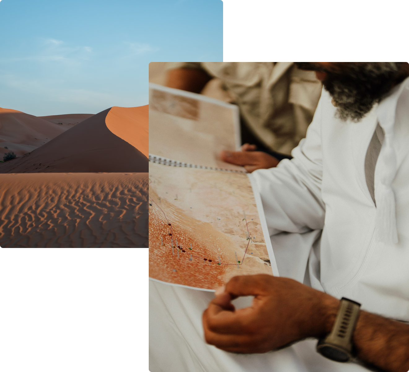
Safety is no accident
With over fifteen years of desert navigation experience, we plan routes meticulously using multiple navigation sources: high-precision GPS, real-time satellite imagery on tablets, and a printed roadbook as a final backup.
Equipped with professional recovery gear, two-way radios, and Iridium satellite phones, safety is our top priority. Our team ensures precise navigation, risk management, and reliable communication even in the most remote desert terrain.


